GeoAccelerators
Vector tiles continue to gain widespread adoption in the web mapping community as a choice format for disseminating basemaps and operational data. In addition to the often-mentioned benefits of small size and speedy transmission, vector tiles are favored because they are consumable in a variety of proprietary and open source formats and require very little supporting infrastructure. Google Cloud Storage’s (GCS) ability to host static content makes it a natural fit for serving vector tiles. Let’s take a look at our journey to hosting vector tiles in GCS.
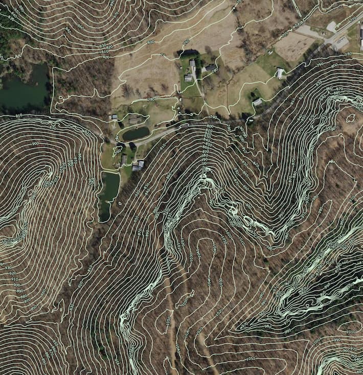
To prove out our Google Cloud Storage (GCS) vector tile solution with a more substantial dataset, we chose a 2 ft contour dataset covering Fairfield County, Ohio. The source data were contained in a 5Gb Esri file geodatabase. We processed the dataset by following the same overall sequence and with the same tooling as Hamilton County.